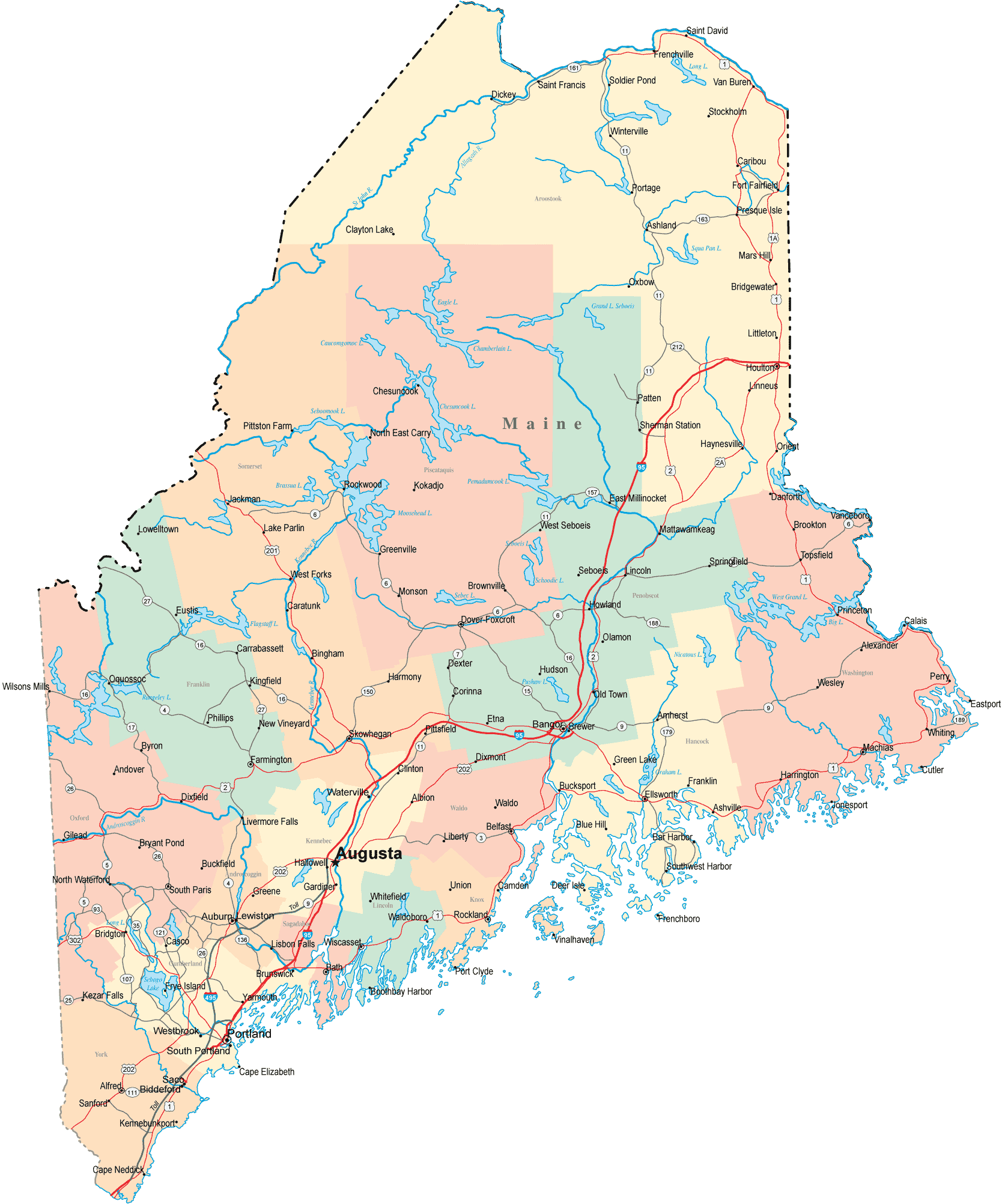
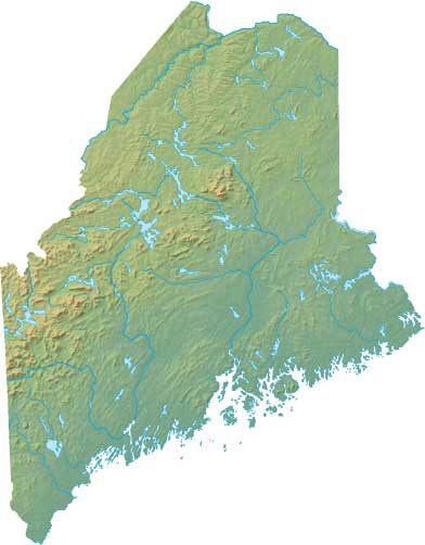
Maine is about the size of Indiana. It has 3500 miles of coastline, 2000 coastal islands, and 6000 lakes. There are about 17 million acres of forest. Thus, the state's nickname is the Pine Tree State. Machias is on an inlet about 30 miles from the border with Canada.
Maine has 16 counties. It produces seafood, blueberries, potatoes, wood, and wood products. The capital is Augusta. The largest city is Portland (about the size of Redlands, CA), and the major airport is in Bangor. In the summer, coastal and lake areas get many people vacationing from out of state. Locals refer to these vacationers and other non-native residents as "people from away".
(Click on map at right to zoom in.)